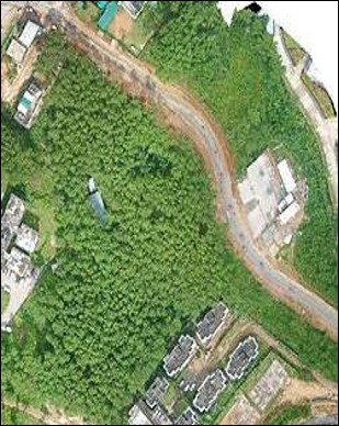
Drone Mapping of notified areas like Wetlands, Ramsar sites, Conservation reserves
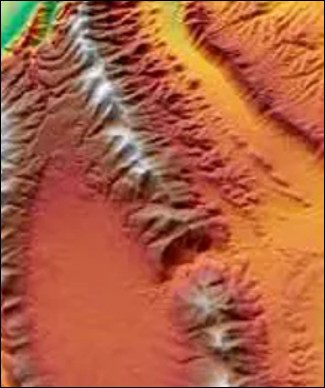
DEM & LIDAR data for planning Soil – Moisture Conservation works, assessment of area below tree canopies
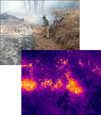
The fire/heat hotspots are identified using the Thermal Drones during the fire suppression


